
Henry County kicked off a countywide trail master plan in fall 2021. Now, planners have shared a draft countywide trail network. In addition, they are seeking public input on possible trail logos.
Trails provide an alternate mode of transportation for pedestrians and cyclists. They can also serve as an economic development tool. Perhaps the most well-known example in Georgia, the Atlanta Beltline, has generated significant development from both residential and commercial interests.
Presently, there exists two greenway trails in Henry County. They include the Panola Mountain Greenway Trail and Reeves Creek Trail. Both are in north Henry County. The trail master plan is looking at options to expand the trail network countywide.
Countywide Trail Network
The draft countywide trail network seeks to connect parks, school clusters and downtowns. Many of the proposed trails follow creeks. Elsewhere, trails can follow major roadways to connect greenways and points of interest. The plan builds off existing trail plans drafted by Locust Grove and Stockbridge.
In addition, planners are considering several possible “model mile corridors.†These locations would serve as pilot trails within the county. They can also serve as launching points for later trails to build from. Starting with seven candidates, planners have narrowed the model mile down to three locations. They include the following:
- Camp Creek Greenway between Henry Parkway and the county offices, following McDonough Parkway, and ending at highway 42;
- Fairview Road from Austin Road Middle and the existing terminus of Panola Mountain trail to Hidden Valley Park, and
- Towaliga River Greenway between Oak Street and the Hampton school cluster on Hampton-Locust Grove Road.
The Camp Creek Greenway offers the opportunity to be the starting point for the longer Walnut Creek Greenway. The proposed Walnut Creek Greenway could become the signature county trail extending through McDonough and Ola.
Logo Survey
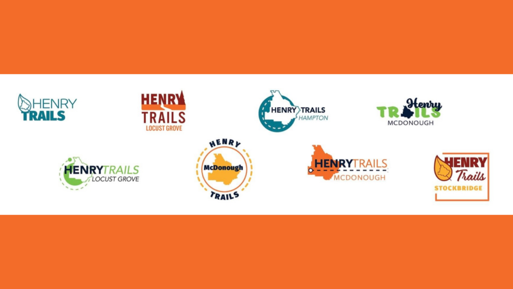
Henry County is seeking public input on possible logos for the trail network. Eight possible logos have been developed for the community to consider.
Next Steps
Planners are concurrently working on two steps in the plan process. They are network feasibility and construction assessment as well as the trail name and logo. Both have a tentative completion date by March. During this phase, the planning team will prepare a funding strategy and wayfinding plan. Afterwards, planners will prepare the final trails plan and documentation. The plan will conclude by this summer.
The trail master plan has a dedicated website for more info.
Featured image shows a map of the draft countywide trail network with a photo of a greenway trail in the background. Map credit Henry County / photo credit Elton Alexander.
Be the first to comment